
Land mask and standard spatial/temporal resolutions and support sizes
For the purpose of the OGCR project, we consistently use the land mask for pan-EU which was prepared by the AI4SoilHealth project and which is currently available via: 10.5281/zenodo.8171860. Three Pan-EU land masks designed for different specific applications in the production of soil health data cube:
- Land mask: with values differentiating land, ocean, and inland water;
- NUT-3 code map: with values differentiating administrative area at nut-3 level;
- ISO-3166 country code map: with values differentiating countries according to ISO-3166 standard;
The pan-EU land mask is based on the highest quality geospatial data including CCL+ Backbone, WorldCover 10 m resolution and the JRC’s Global Surface Water (30 m). The jupyter notebooks and bash files that are used to produce masks, merge tiles, reproject coordinate systems, and resample to another resolution are available via the Zenodo link. In the case of updating the landmask, often all predictions also need to be updated so updates and versions of landmask are considered necessary only on a scale of 2–5 years.
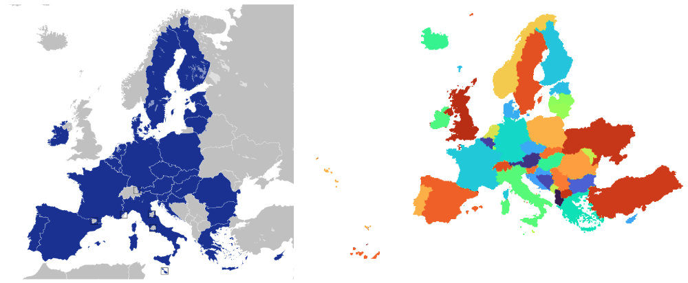
The OGRC project aims at creating solutions (data, API’s, methods, standards and protocols) for pan-EU. Pan-EU is here defined as:
- European Union (without the Caribbean islands, Reunion etc) / European Economic Area + UK + Norway + Switzerland,
- Western-Balkans (Bosnia & Herzegovina, Serbia, Kosovo, Albania, Moldavia), Candidate countries Turkey and Ukraine,
The land mask does not have to contain all countries listed above, however, it needs to at least cover a complete land mask for the European Union countries (see map above).
For the sake of consistency and compatibility, project participants will use standard spatial resolutions to deliver and exchange data. Recommended standard pixel sizes / resolutions:
Table 3: Standard bounding box (“EU01”) and spatial resolutions.
| Europe COG Bounding box EPSG:3035 | Continental EU01 COG Spatial resolutions and image size EPSG:3035 |
|---|---|
| Xmin = 900,000 Ymin = 930,010 Xmax = 6,540,000 Ymax = 5,460,010 | 10m : 564,000P x 456,000L, 30m : 188,000P x 151,000L, 100m : 56,400P x 45,600L, 250m : 22,560P x 18,240L, 1km : 5640P x 4560L, |
Other bounding box codes in use:
- EC01: European Union Countries (without the Caribbean islands, Reunion etc);
- EEA01: European Economic Area + UK + Norway + Switzerland (without the Caribbean islands, Reunion etc);